Google Maps convinced hikers a grueling 14-hour mountain hike was just a 5-hour 'afternoon walk'
On a screen, it looked like a straightforward 5-hour hike. The reality was a gruelling alpine trek that this group of hikers learned firsthand


Digital maps can make even the most complicated journey look deceptively simple. But that illusion can become dangerous when the road disappears, and the terrain starts climbing. A group of hikers recently discovered that the hard way after Google Maps suggested a mountain trek would take just over five hours. In reality, the journey could take 12 to 14 hours, according to a July 16, 2026 Facebook post shared by Lions Bay Search and Rescue (@LionsBaySAR). The story also highlighted the discrepancy in Google Maps while traveling on mountain terrain. The post received reactions from nearly 400 people, 66 comments, and over 70 shares.
Too easy to be true
The organization said that this is not the first time they have noticed this discrepancy on a volunteer-led expedition. The hikers were attempting to traverse the Howe Sound Crest Trail. For planning their hike, they had printed directions from Google Maps. The app clearly relayed that the total hike time would be close to 5 hours and 13 minutes with a handful of left and right turns, including a 2-hour-55-min stretch from Cypress to West Lion and a 2-hour-18-min stretch from West Lion to Lions Bay. The trek seemed too easy to be true, as the group soon found out. In fact, a hiker who is familiar with the trek would certainly find this to be “wildly optimistic.”
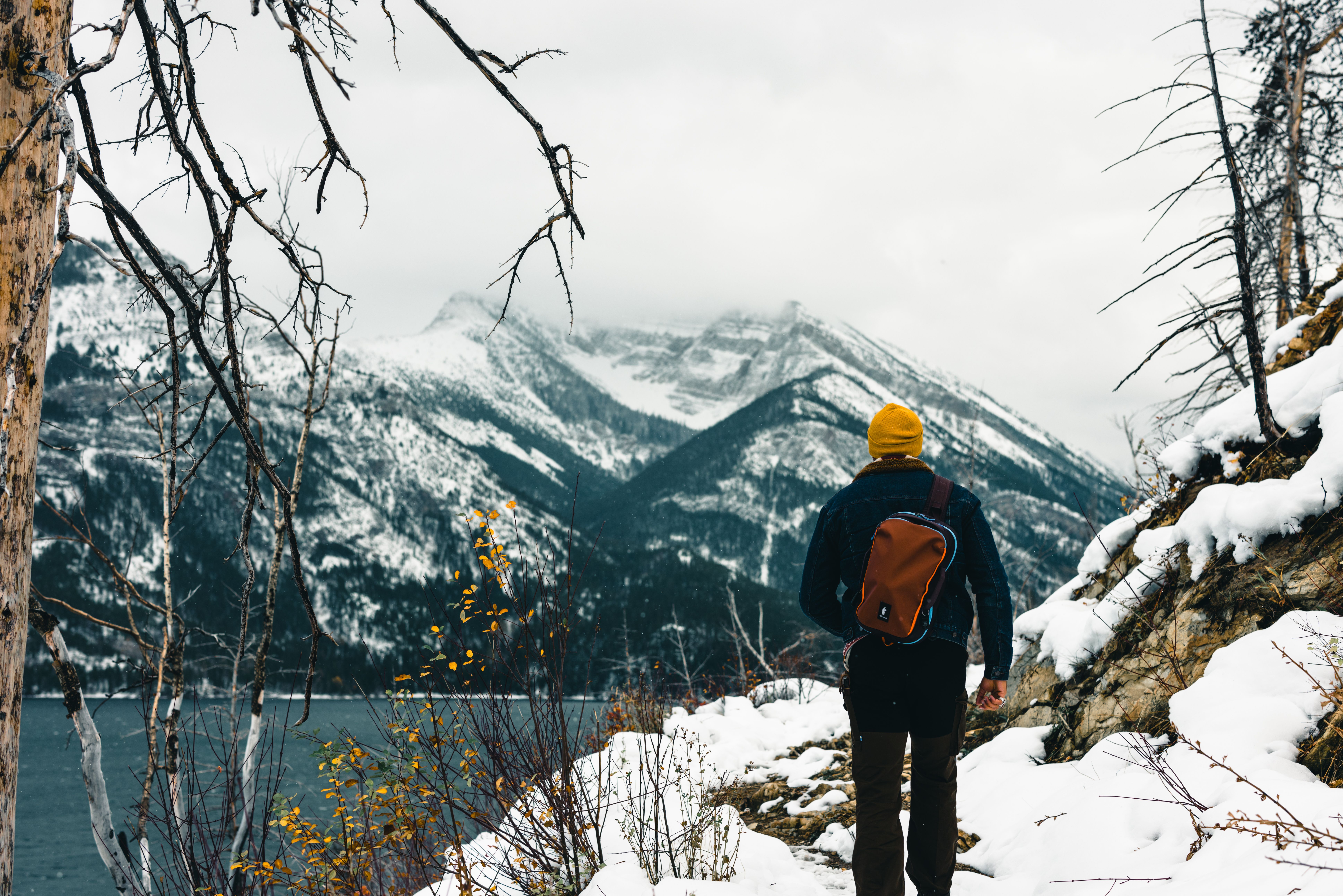
According to the organization, the actual route spans 18 kilometers (11.2 miles), plus 1,300 meters of “elevation gain, sustained alpine terrain, route finding, scrambling sections, loose rock, and countless ups and downs that Google simply doesn't account for.” From a realistic perspective, the trail demands between 12 and 14 hours from the hikers. It was a timeline they weren't prepared for at all. Needless to say, they had to be rescued by the Lions Bay team, as the Vancouver Sun noted. Moreover, CTV News highlighted that the hikers were "rescued from an extremely challenging trail," further clarifying how dangerous the situation could have been if the search and rescue team hadn't responded promptly. According to Lions Bay SAR, inaccurate planning can affect everything from a hiker's departure time to the "amount of food and water" they carry. The organization said it is one reason its volunteers "regularly respond to hikers who become exhausted, benighted, injured, or unable to complete their objective safely."
Google Maps: Not a backcountry tool
Lions Bay SAR states that Google Maps was designed to navigate roads and city streets, not rugged mountain terrains. For rugged and bumpy terrains like these, they suggested apps like AllTrails, Granite, GaiaGPS, and Avenza Maps. “Please don't let Google Maps convince you that a serious hike is just another afternoon walk,” they wrote.
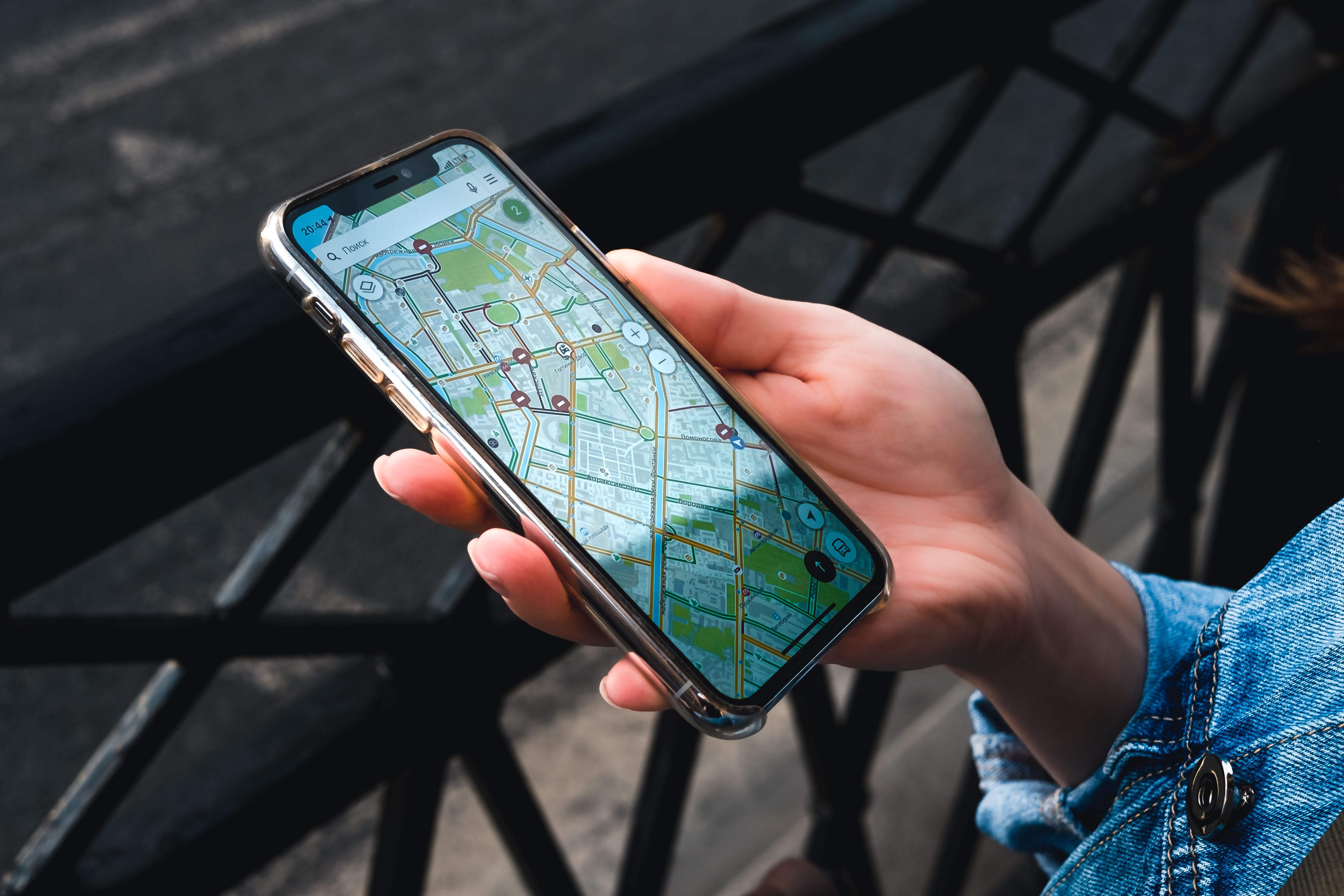
Google Maps can be reasonably accurate for many road journeys, but that does not mean its estimates translate well to backcountry hiking. According to a paper published in the IFAC-PapersOnLine, there is a deviation of less than 6% between Google Maps estimates and actual travel times in the context it examined. Mountain terrain, however, introduces factors such as elevation gain, scrambling, loose rock, and route-finding that ordinary travel-time estimates may not fully capture. For instance, in 2023, Google Maps sent hundreds of drivers on the wrong side of the mountain, per AutoEvolution.
'Do not rely on Google Maps'


Many people expressed shock and concern over the Google Maps discrepancy. Others, who were already aware of it, warned hikers to refer to multiple sources before planning their hike. Dave Thompson commented, “Another tip is to do extensive research before venturing out on a major trail. Use multiple maps/apps and media sources for current information. Best of all - know your abilities.” Peach Akerhielm said, “We actually need a sign at the beginning of each trail saying the following: 'Do not rely on Google Maps for this trail. It misses the effects of elevation, gradients, and rough terrain. You could end up stranded."
More on Scoop Upworthy
Stranded hiker’s SOS text failed — but his wife says 'God' sent a stranger to save him
After 911 failed five times, she asked Siri for the nearest Starbucks. It was her only way out
 Share on Facebook


